Life
Inspirational experiences. Real life insights. The truly exceptional stories that spark a new way of thinking.

Paul Lewis: 5 ways to make your savings work harder
From finding better rates to cutting tax, our money expert explains how to get more from your savings.

Saga prize draws, competitions and offers
All the competitions, prize draws and offers on Saga right now – enter now to win!

Can I ask my sister-in-law to remove her shoes?
Anne Robinson tackles a surprisingly thorny family dilemma.
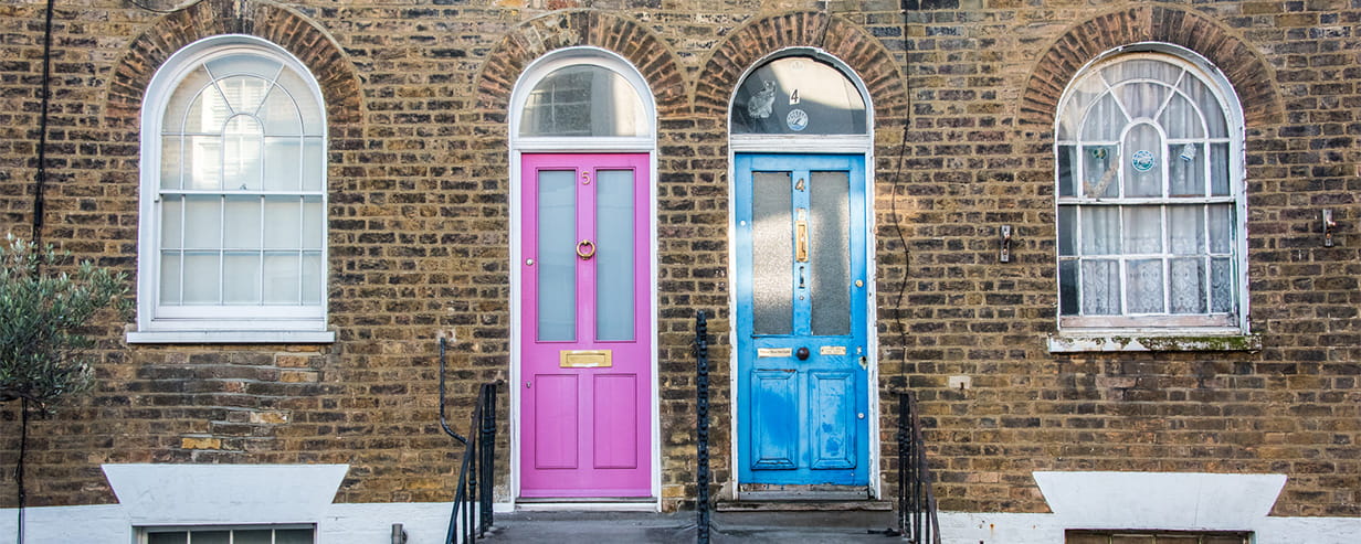
8 historic British laws you can still get fined for breaking today
These surprising old laws are still on the books and could land you in trouble.
How to tell what your dog is thinking
Top trainers reveal what dogs are really trying to tell us.

The beauty products I never travel without
Planes, air conditioning and sunshine can wreak havoc on skin and hair - here's what to pack.
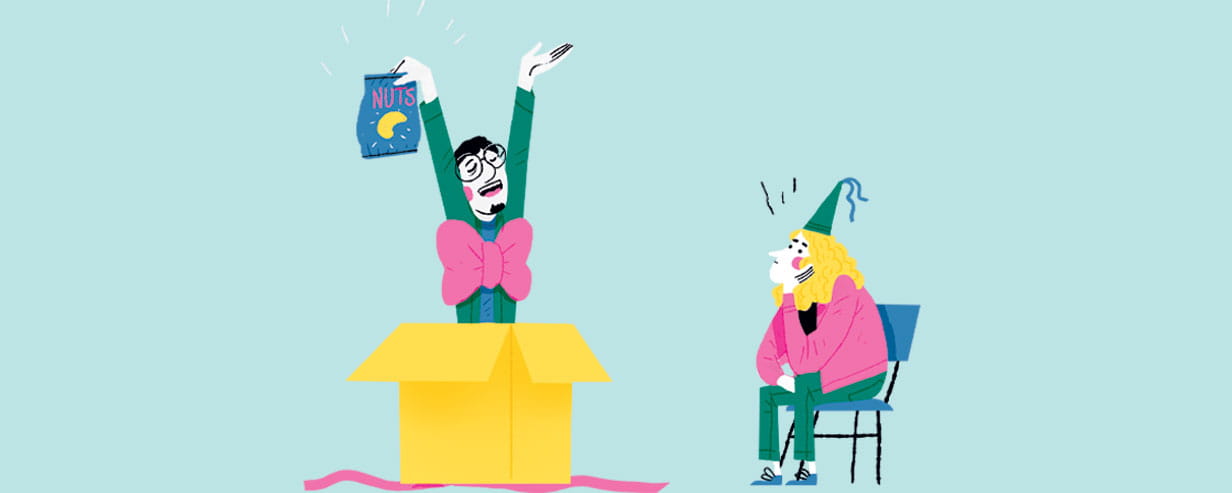
Can men buy good presents? Anne Robinson gives her verdict
From bread bins to bizarre sculptures, our agony aunt on why some men never seem to get gift-giving right.

Susie Dent on the origin of "break a leg"
From winging it to off-the-cuff remarks, the words and expressions that began life backstage.

Paul Lewis: August money news
Inheritance tax pitfalls, rising savings rates and the latest fraud scams.

How to take perfect pet photos
These expert tricks will help you capture your pet at their very best.

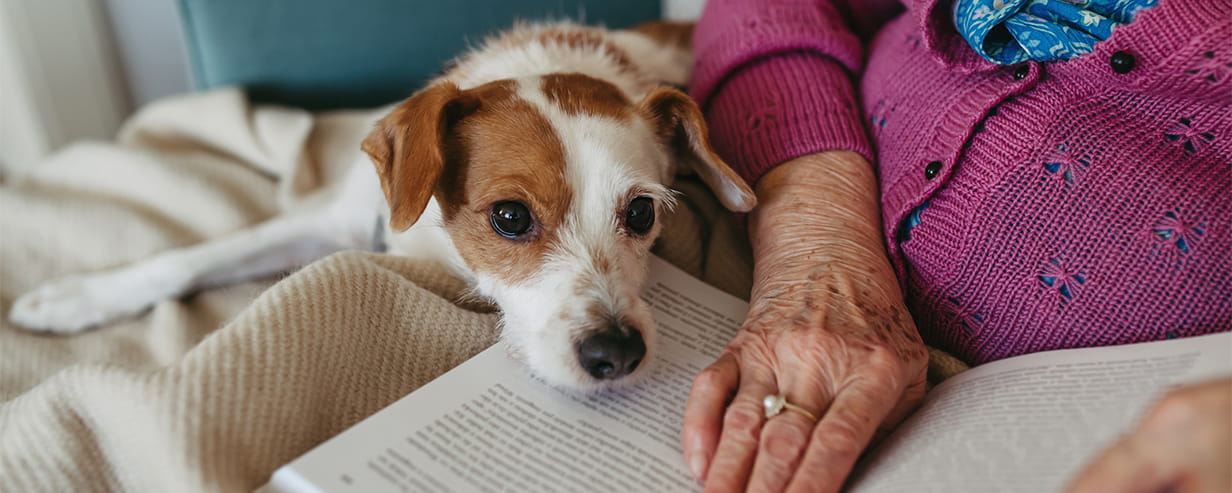
Why losing a pet hurts so much – and how to cope
Bereavement experts explain why the grief can be feel so overwhelming – and what can help.
The beauty products I never travel without
Planes, air conditioning and sunshine can wreak havoc on skin and hair - here's what to pack.
Paul Lewis: 5 ways to make your savings work harder
From finding better rates to cutting tax, our money expert explains how to get more from your savings.

Are people really wary of a single woman?
Dr Miriam Stoppard helps a woman struggling to meet new people after divorce.

This year, Saga is celebrating an incredible 75 years – and we’d love you to be part of the celebrations. For a limited time only, you can subscribe to Saga Magazine for just 75p an issue.
Receive the next 6 print editions delivered direct to your door, plus 6 months’ unlimited access to the Saga Magazine app – perfect for reading on the go.
Play our free daily puzzles
Beat the boredom and exercise your mind with our selection of free puzzles.